Introducing Science + Engineering Practices and Cross Cutting Concepts
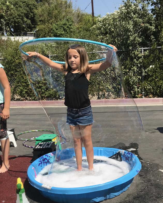
Bubbleology

|


|
|
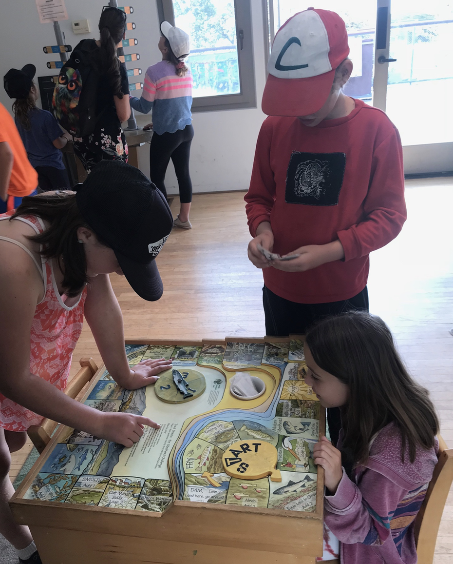
MIGRATION AND SETTLEMENT
SEP 7: Argument from Evidence
SEP 8: Obtaining, Evaluating, and Communicating Evidence
Students read text, watch videos, and listen to a podcast. They then record evidence for each claim - Bering Strait land bridge or Kelp Highway.

|

|
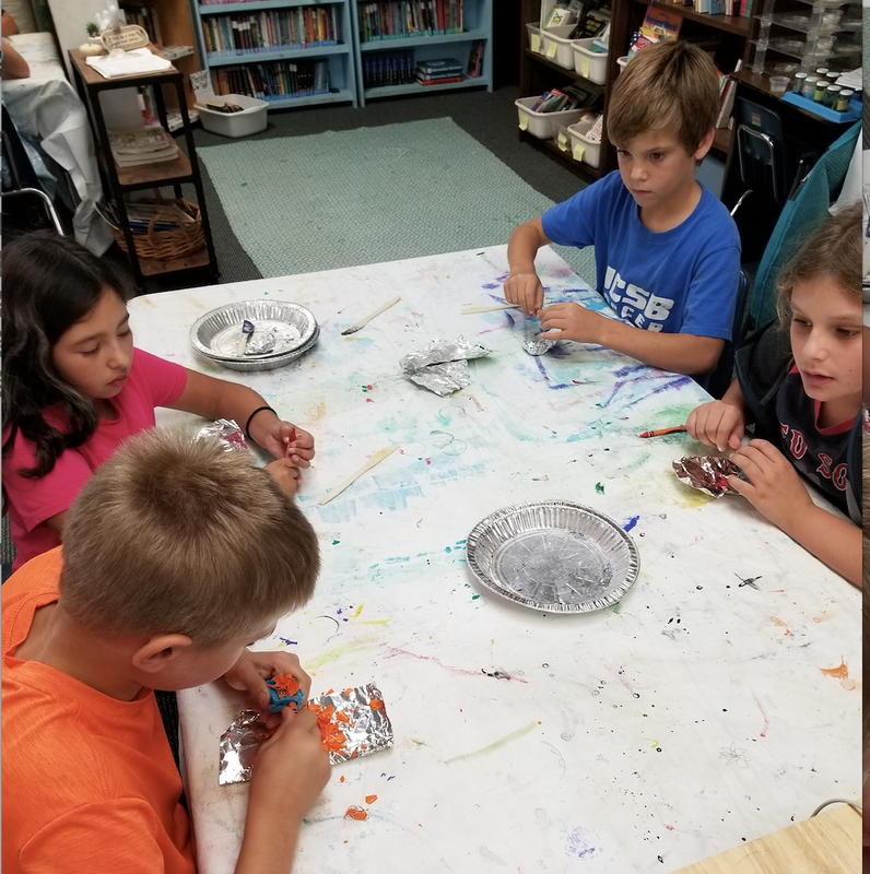
Students each get a page (or two) from the article to read and answer questions about. Then each student shares their question/answer read their part of the article.

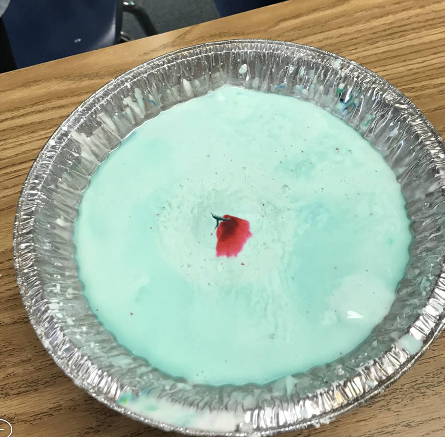
A demonstration of groundwater

|

|
Mapping Earth's Features
Analyze and interpret data from maps to describe patterns of Earth’s features. 4-ESS2-2
Students look at Maps and Pictures of Santa Barbara/Goleta to examine the features that attracted settlers and what features settlers have changed. They also make their own map. They look at SB/Goleta on Google Earth, they read topographic maps of Mt. Shasta and SB/Goleta. They went on a field trip to the Watershed Resource Center and found our school's watershed.

|

|

|

|

|

|

|

|

|
|

|
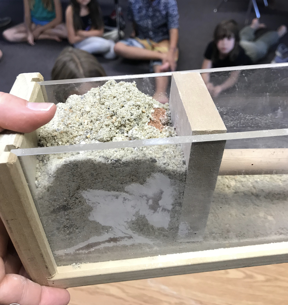
Make observations and/or measurements to provide evidence of the effects of weathering or the rate of erosion by water, ice, wind, or vegetation. 4-ESS2-1
Students test amount of water and elevation on the erosion capacity of a steam.

|

|


|
Students model physical and chemical weathering turning rocks into dirt and sand.

|

|

|
Students study the rock cycle, make crayon "rocks," and identify sedimentary, igneous, and metamorphic rocks by their characteristics.

|
|

|

|

|

|
Students model mountain formation due to plate tectonics. We used a squeeze box to model fault mountains. We made oobleck volcanic mountains.

|


|

|

|
|
|
Ask questions to determine cause and effect relationships of electric or magnetic interactions between two objects not in contact with each other.
Students examined interactive exhibits at our magnet "museum" and made compasses using a magnet and a needle.

|

|

|
Students used their understanding of magnets to create magnetic toys.

|

|

|
